• Give & Join
  • Renew
    • Renew Your Membership
    • Member Circles and Benefits
    • Student Membership
    • Give a Gift Membership
    • More Ways to Help
    • Update Your Information
  • Take Action
    • Volunteer Program
    • Make Your Voice Heard
  • About
    • What We Do
    • Annual Reports
    • Position Openings
    • Team & People
    • Partners & Friends
    • Policies & Financials
  • Things to Do
    • Events
    • Archaeology Café Online
    • Exhibits
    • Classes
    • Field School
  • Explore
    • Free Resources
    • Introduction to Southwestern Archaeology
    • Projects
    • Protection Efforts
    • Ancient Cultures
    • Videos
    • Places to Visit
  • Store
    • Archaeology Southwest Magazine
    • All Products
  • News
    • Blog
    • Press Releases/Announcements
    • Preservation Archaeology Today
    • Sign up for E-News
  • Give & Join
  • Renew
    • Renew Your Membership
    • Member Circles and Benefits
    • Student Membership
    • Give a Gift Membership
    • More Ways to Help
    • Update Your Info
  • Take Action
    • Volunteer Program
    • Make Your Voice Heard
X
  • About
    • What We Do
    • Annual Reports
    • Position Openings
    • Team & People
    • Partners and Friends
    • Policies and Financials
  • Things to Do
    • Events
    • Archaeology Café Online
    • Exhibits
    • Classes
    • Field School
  • Explore
    • Free Resources
    • SW Archaeology 101
    • Projects
    • Protection Efforts
    • Ancient Cultures
    • Videos
    • Places to Visit
  • Store
    • Archaeology Southwest Magazine
    • All Products
  • News
    • Blog
    • Press Releases/Announcements
    • Preservation Archaeology Today
    • Sign up for E-News

50 Acres in Two Days

Preservation Archaeology Blog
  • Home
  • >
  • Preservation Archaeology Blog
  • >
  • 50 Acres in Two Days
Ian Youth, Washington University in St. Louis

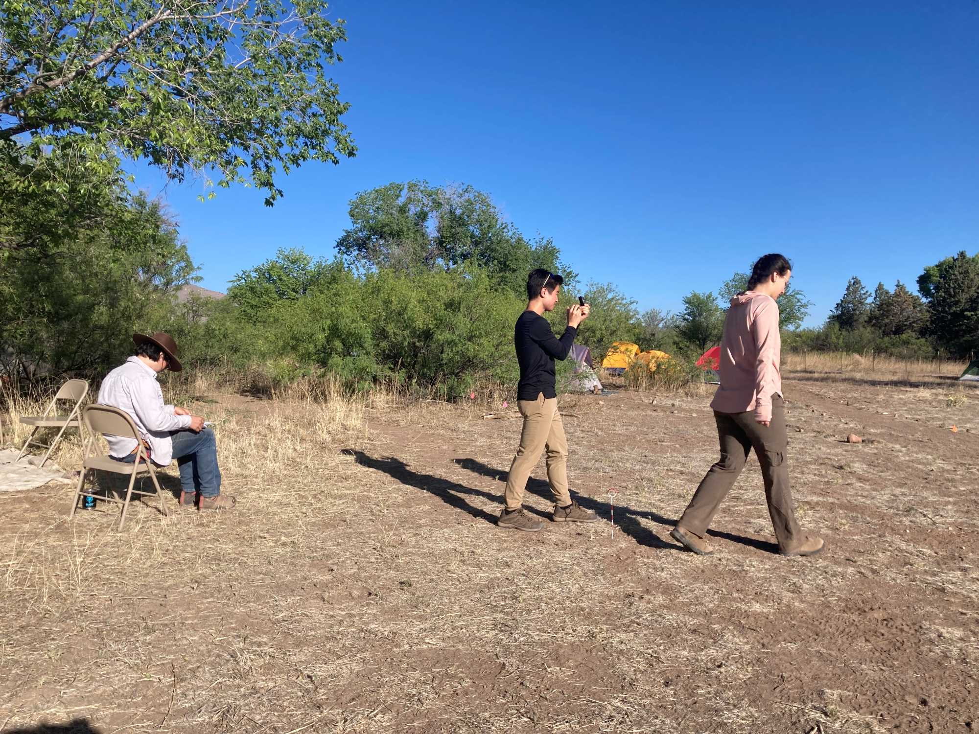
(June 6, 2022)—Each day at the Preservation Archaeology Field School, Ben Pelletier has been teaching three of us the basics of surveying an unfamiliar landscape. Because surveying allows us to identify previously unknown sites, it is an essential component of preservation archaeology.

As an introduction to survey, Jorge, Avy, and I embarked on a mission to hand-survey the Cliff base camp—in other words, to map the site without the assistance of GPS (Global Positioning System). We were tasked with mapping aspects of the lab area, such as the entrances, adobe and brick walls, the pump house, and the flintknapping station. We also mapped our tent encampment, including student-constructed roads and specific tents. Each of us learned how to take a compass reading from a specific point on the landscape (the datum) and plot corresponding landscape features on metric graph paper, using our predetermined paces to approximate relative distances. Even though compass readings that are off by just a few degrees can hamper the map’s accuracy, we managed to replicate the Cliff base camp with surprising precision after just a few short hours.

Jorge (left) works on the map as Avy (right) paces her way toward the pump house and I use the compass to approximate the angle for our map.

Later that day, we ventured into the Gila National Forest with some forestry service team members to practice surveying predetermined site locations. There, we found a multitude of artifacts, including obsidian flakes and some brown ceramic sherds.

The Gila National Forest is ripe with artifacts of different materials; what seems like an uninhabited landscape today may in fact have been the center of a centuries-old site.

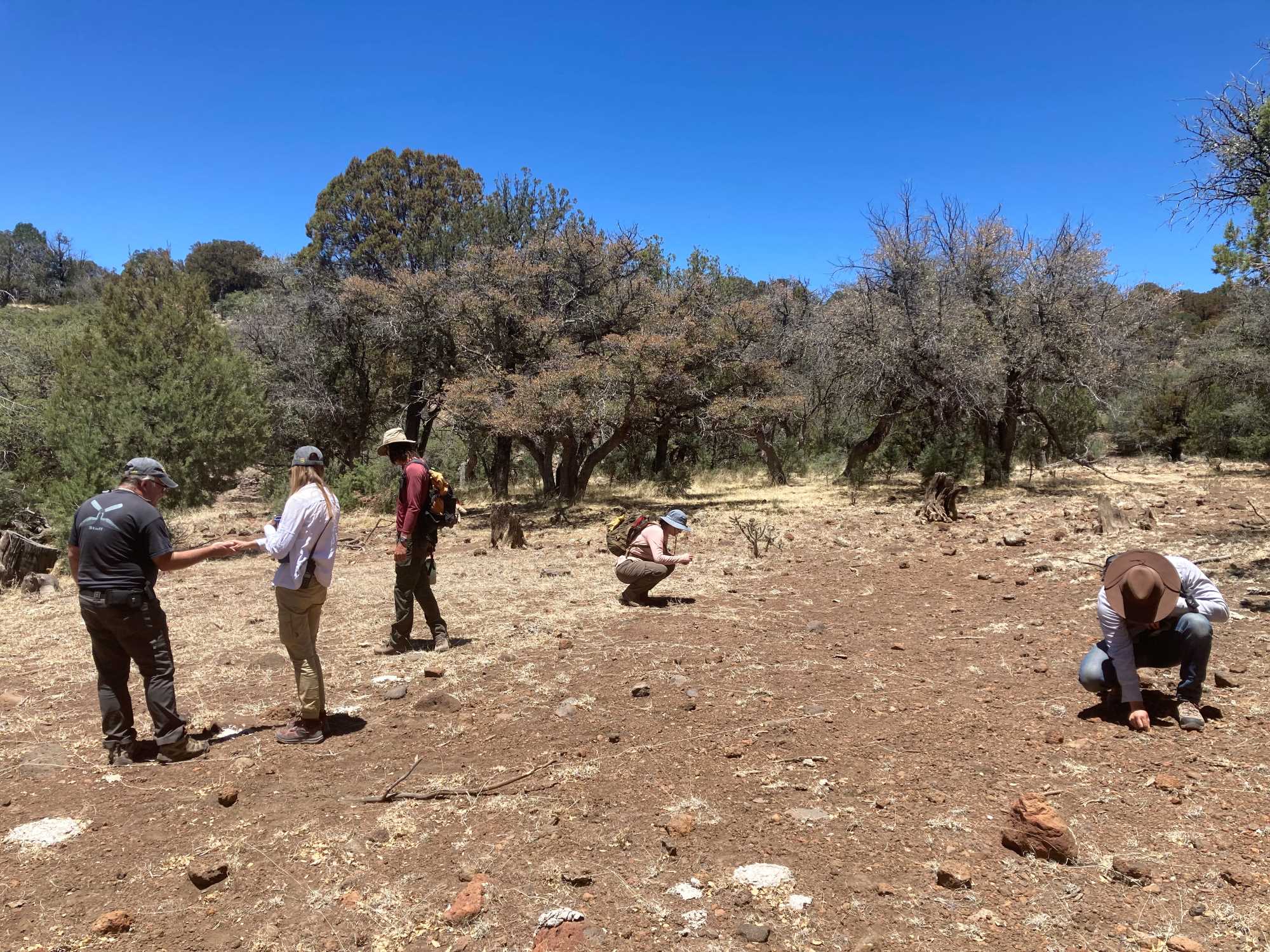
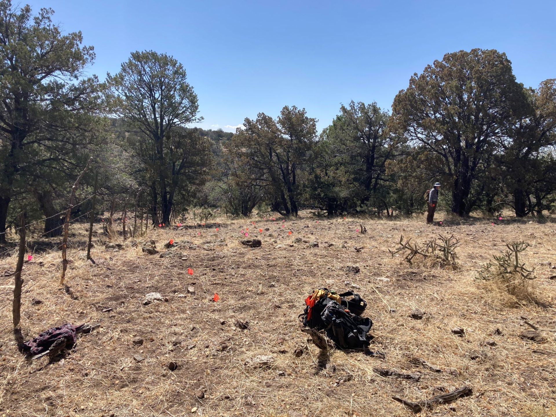
Thursday was our true introduction to landscape survey. We traveled into the Gila National Forest and began our orderly trek over a 50-acre parcel of land. Four of us (Ben, Jorge, Avy, and myself) spread out in 15-meter increments and trawled our way westward through the dry, cobble-dominated terrain, scanning the ground for signs of human habitation or activity. Once we reached the end of the parcel, we would shift south and move to the east, covering the whole landscape. Eventually, we found a site bisected by a modern-day fence, replete with rhyolite cores, obsidian flakes, and chalcedony scrapers. Ceramics and bifaces also abounded, and we identified a clearing that we theorize may have been used as a hunting or tool-making outpost.

Having identified the site, we were careful to document the location, size, color, and shape of all artifacts using specialized forms. I was particularly excited to learn how to use a GNSS (Global Navigation Satellite System) receiver in conjunction with a GPS to delineate not only the site boundary, but also the precise location of significant artifacts (with accuracy to the nearest meter!). After three hours, we had found over 100 unique artifacts, and our findings will be crucial to potentially preserving this site in the face of looming construction activity.

The site we found on Thursday had more than 100 unique artifacts, each of which we marked with a flag for future analysis.

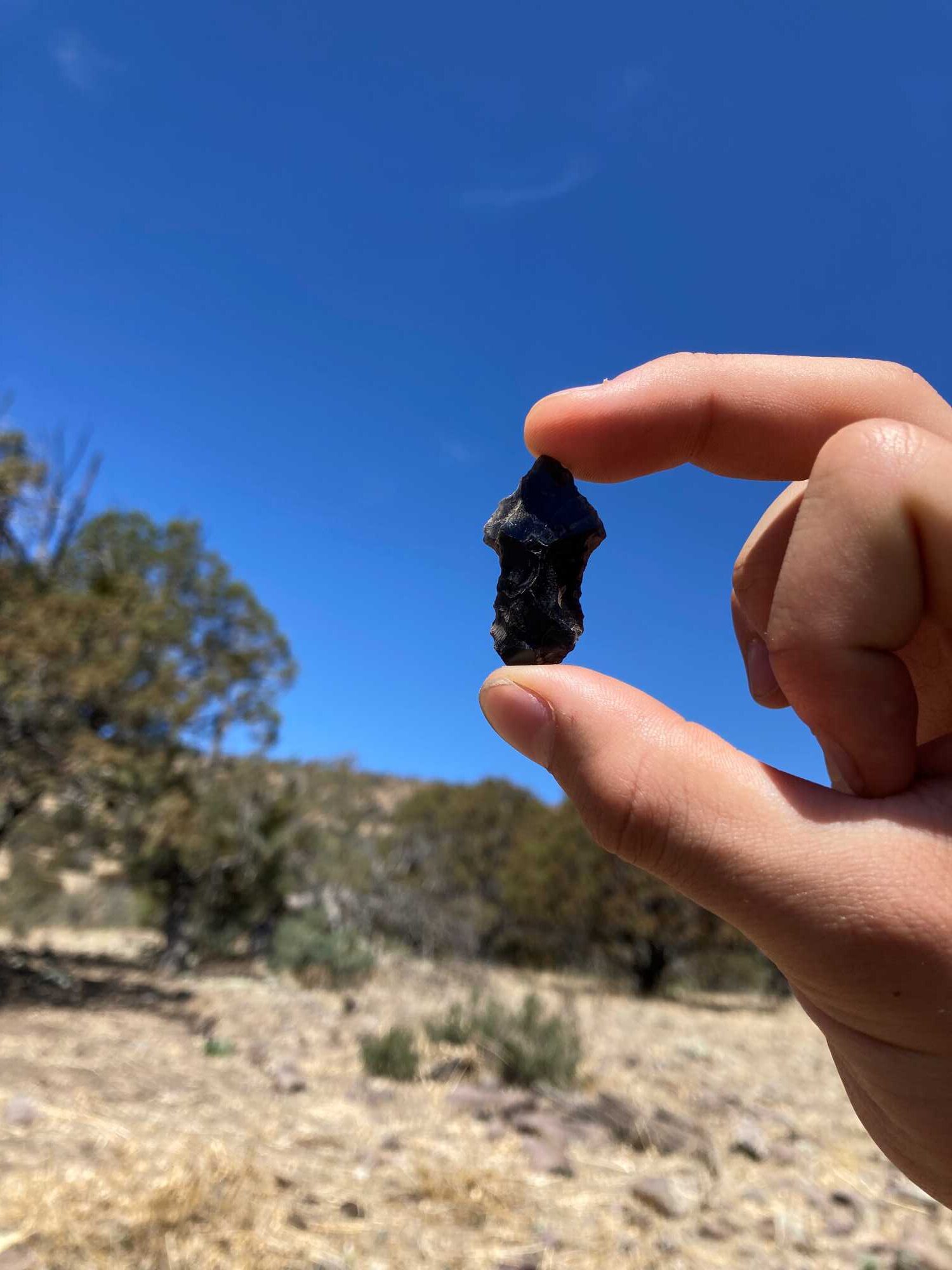
Today, we continued surveying our parcel, and although we did not find any sites as large as the one we found on Thursday, I did find this archaic obsidian projectile point in the middle of a dirt clearing. Having surveyed more than 50 acres so far, I’m looking forward to returning to this specific site so that we can perform a shovel test—that is, determine if any other artifacts might be underground!

4 thoughts on “50 Acres in Two Days”

  1. Len Ho says:
    June 8, 2022 at 7:22 pm

    Impressive and important work!

    Reply
  2. anonymous says:
    June 9, 2022 at 2:31 pm

    wow, that arrowhead is so well-preserved! super cool 🙂

    Reply
  3. Fran Williams says:
    June 10, 2022 at 6:06 am

    That is such incredible precise work you are doing. I do hope the landscape is preserved in its natural state and is not desecrated by modern construction.

    Reply
  4. Sharon Miller says:
    June 14, 2022 at 6:13 pm

    There is so much to learn from just looking at the ground. Great work!

    Reply

Leave a Reply Cancel reply

Your email address will not be published. Required fields are marked *

Explore the News

  • Preservation Archaeology Blog
  • Press Releases/Announcements
  • Preservation Archaeology Today

Related to This

  • Page NSF REU Site: Preservation Arc...

Related Posts

  • Ah, Plants!

  • Decolonizing Archaeology: An Indigenous Perspective

  • A Home away from Home

Want to help us? Make a donation

or take action

© 2020 Archaeology Southwest
Formerly the Center for Desert Archaeology

520.882.6946
Contact
  • Donor Portal
  • My Store Account
  • Contact Us
  • Terms of Use
  • Privacy Policy
  • Press Room