Description
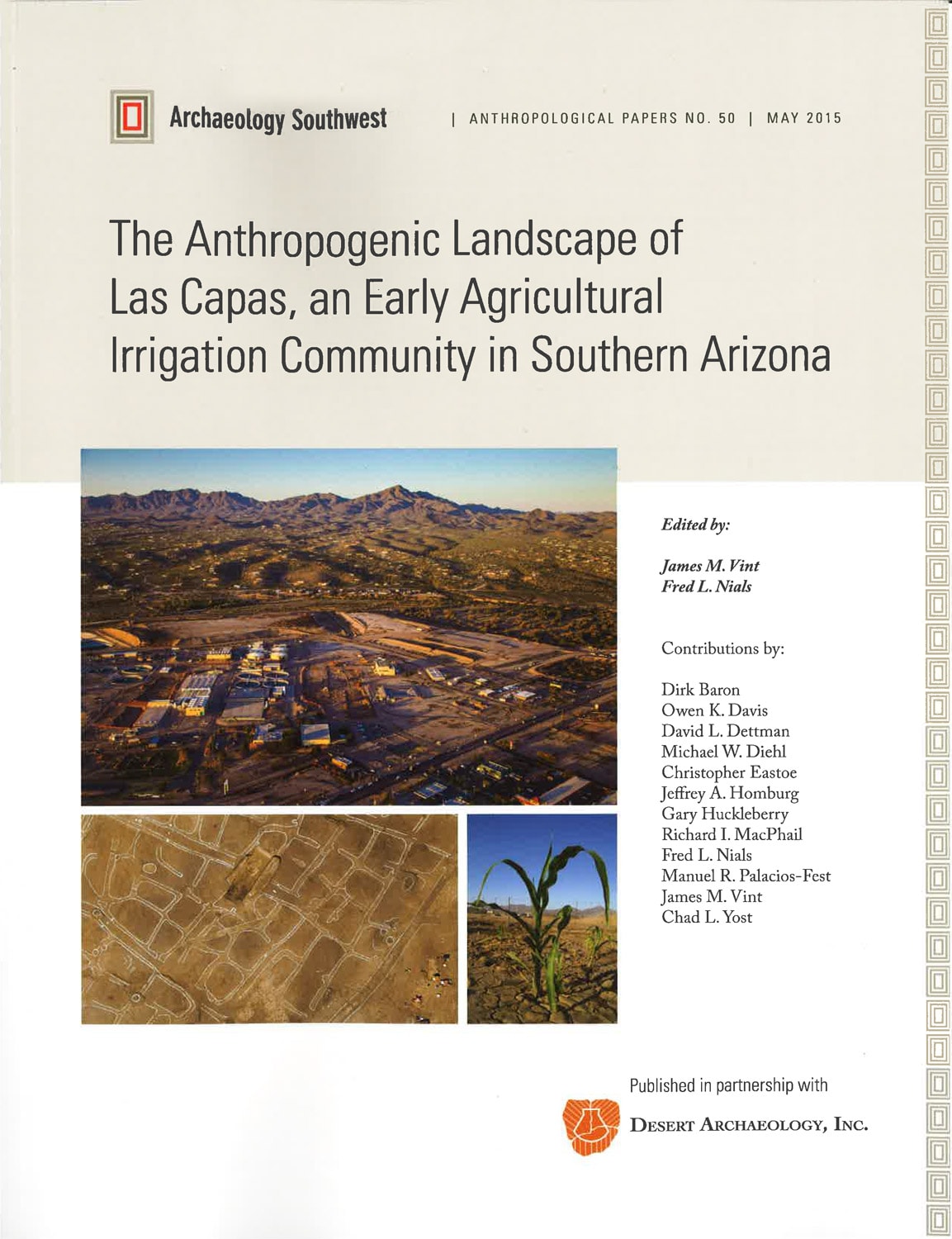
The Anthropogenic Landscape of Las Capas, an Early Agricultural Irrigation Community in Southern Arizona (AP50)
LAS CAPAS ARCHAEOLOGICAL PROJECT SUMMARY
Desert Archaeology, Inc. has recently completed final reports on two projects that provide substantial new insights regarding agricultural practices of the Early Agricultural period in the Tucson Basin and of Hohokam agriculture along the Salt River in Phoenix.
Desert Archaeology conducted major excavations at the site of Las Capas, AZ AA:12:111 (ASM), between 2009 and 2013 under contract to Pima County. Las Capas is located in the northern Tucson Basin on the east bank of the Santa Cruz River, just downstream of the confluences of the Rillito and Cañada del Oro tributaries with the Santa Cruz in an ideal location for irrigation-based agriculture. Data recovery was conducted by Desert Archaeology, Inc. in advance of the expansion of Pima County’s Tres Rios Water Reclamation Facility.
Las Capas dates primarily to the San Pedro phase of the Early Agricultural period, ca. 1200 to 800 B.C. Later, more sporadic occupation of the site extends from the Cienega phase (ca. 800 B.C. – A.D. 50) through the Hohokam and Protohistoric eras. Occupation prior to ca. 2100 B.C. is suggested by several radiocarbon dates on maize found redeposited in younger contexts. Recent excavations at the site and associated its associated canals (designated as AZ AA:12:753 (ASM)) revealed the structure of this Early Agricultural period settlement in unprecedented detail. Data recovery identified over 5,500 prehistoric features, of which 3,455 were excavated or tested. Investigated feature types included 53 pithouses (and 8 possible pithouses), 22 extramural surfaces, 610 bell-shaped pits, 49 large pits, 2099 small pits, 490 roasting pits, 40 pits of unknown or other function, 20 inhumations, 2 cremations, and 11 animal burials. These excavations resulted in the recovery of over 113,000 artifacts and 7,300 samples of various kinds.
A well-organized and long-lived series of cultivated fields associated with the canals was identified, and is the best example of Early Agricultural period farming technology known to date. The large areas available for excavation allowed fields and canals to be exposed over broad areas; 15 ha of fields could have been irrigated with ease based on the exposed portions of the system, modeled stream flow, and the physical characteristics of the canal and floodplain sediments. The detailed excavations also allowed for estimates of the labor expended in field construction. The practice of irrigated maize agriculture and the community organization needed to operate and maintain those systems was as significant to local communities as its overall contribution to diet.
The results of the Las Capas investigations are provided in a series of Anthropological Papers, Technical Reports, and a book published by Archaeology Southwest and Desert Archaeology. The two Anthropological Papers provide a broad overview and synthetic examination of the site, with a specific emphasis on the reconstruction of prehistoric life in the northern Tucson Basin during the Early Agricultural period San Pedro phase. The five Technical Reports include discussions of the field methods, feature descriptions and descriptions of the mortuary assemblage, and an experimental analysis examining Early Agricultural period agriculture and ground stone tool production. A map packet is also included as a Technical Report with areal maps showing the project area and feature location by individual locus. Finally, the book, by flake stone analyst Jane Sliva, presents the first comprehensive study of Early Agricultural period projectile points in the greater Southwest United States, including both typological and behavioral interpretations. This volume provides the environmental and cultural context of the Las Capas project area, situated on the Santa Cruz River floodplain in the northern Tucson Basin of southern Arizona.
SUPPLEMENTARY MATERIAL
(All links open as a PDF)
Report of Radiocarbon Dating Analyses
Las Capas, AZ AA:12:111 (ASM), Canal and Field Data
Las Capas, AZ AA:12:111 (ASM), Canal Profile Data and Descriptions
Supplemental Faunal Data from Las Capas, AZ AA:12:111 (ASM)
Line Drawings of Bifaces, Preforms, and Projectile Points from Las Capas, AZ AA:12:111 (ASM)
Flaked Stone Data from Las Capas, AZ AA:12:111 (ASM)
Macrobotanical Data from Las Capas, AZ AA:12:111 (ASM)
Source Provenance of Obsidian Artifacts from Las Capas, AZ AA:12:111 (ASM)
Supplemental Pollen Data, Las Capas, AZ AA:12:111 (ASM)
RELATED TECHNICAL REPORTS
(All links open as a PDF)
Las Capas Archaeological Project: Ground Stone and Maize Processing Experiments (TR2014-02)
Las Capas Archaeological Project: House and Extramural Surface Descriptions (TR2014-08)
Las Capas Archaeological Project: The Burial Assemblage (TR2014-09)