Description
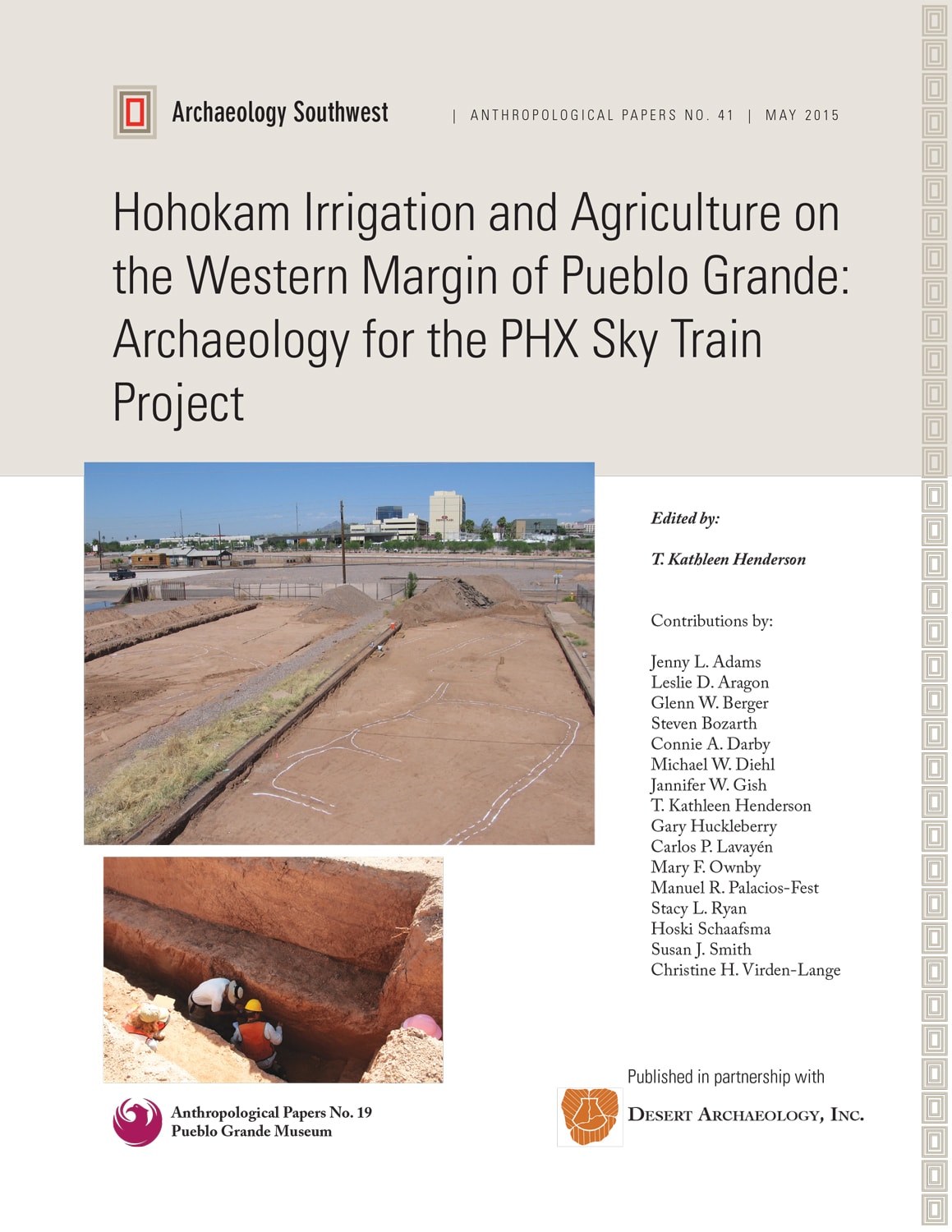
The PHX Sky Train® archaeology project was sponsored by the City of Phoenix in advance of construction of the 44th Street Station for Phoenix Sky Harbor International Airport’s then-new automated train system. Located on the north side of the Salt River, west of 44th Street and south of the Grand Canal, the 17-acre project parcel overlapped the western margin of the Pueblo Grande ballcourt and platform mound community and lay just downstream of the headwaters of prehistoric Canal System 2.
Canals were anticipated from the outset of the PHX Sky Train project; unexpected was the diversity of encountered irrigation and agricultural features. In all, 80 prehistoric features were documented, including large main trunk canals; small and medium local canals; agricultural fields and the systems of ditches that irrigated them; water catchments and reservoirs; an unusual canal-side basin that served multiple purposes; and several habitation areas containing fieldhouses, processing and storage pits, and, in one case, an adobe structure. The ages of the archaeological features ranged from the later Colonial through the Sedentary and Classic periods of the Hohokam chronology, roughly A.D. 750-1350.
Research for the PHX Sky Train project was designed to new insight and understanding about Hohokam irrigation, land use, and agricultural practices at the western margin of Pueblo Grande. Highlights of project findings include the following.
• For the first time, Hohokam irrigated fields were exposed in both plan and profile in the Salt River Valley. Nearly all elements of the field systems were represented, including distribution channels, primary laterals, secondary laterals, and ditch sublaterals that directly fed the fields. Seven distinct fields comprised the best-preserved field system, although additional fields were suggested by trace remnants of overlapping ditch segments. A paleoecological study of the fields that incorporated analyses of soil texture, soil chemistry, and microfossil, pollen, and biosilicate content was accomplished.
• The project provided an opportunity to reexamine several System 2 canals studied more than 30 years earlier by the Hohokam Expressway project and, even earlier, by Woodbury at Park of Four Waters. Sky Train’s geoarchaeological analysis combines geomorphology, stratigraphy, sedimentology, and chronometry to provide insight into canal construction, use history, and flow capacity of the represented System 2 canals. Gathered data are used to correlate the three largest Sky Train canals with downstream canal segments in the vicinity of Casa Buena and Grand Canal Ruins.
• Clear evidence is presented that use of the last and largest of Sky Train canals, traceable to the North Canal at Park of Four Waters, was catastrophically terminated by an uncontrolled Salt River flood, ca. middle to late Classic period.
• Detailed studies of two intriguing features loosely defined as “catchments” is presented. Although both were characterized by thick bedded sediments indicating capture and retention of water over some period of time, other characteristics indicated the two performed vastly different functions. One is determined to be a reservoir initially filled by river water from a canal and later by water captured from a natural channel. Attributes of the other, a curiously shaped canal-side basin, indicate initial use as a field tail water return, but later for as yet unresolved activities, possibly including as a raft or boat slip.
Collectively, the PHX Sky Train project results reveal the Hohokam’s intimate knowledge of their landscape and how to manipulate it to best advantage. The findings underscore why study of the irrigated spaces between prehistoric settlements is crucial to fully understanding how the Hohokam managed to thrive for so many centuries in their desert environment.