Description
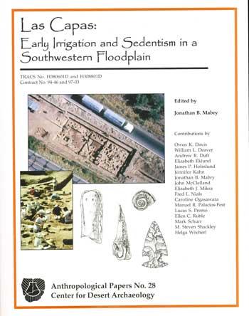
Las Capas: Early Irrigation and Sedentism in a Southwestern Floodplain (AP28)
Jonathan B. Mabry, editor.
In 1998, Desert Archaeology, Inc., personnel conducted archaeological data recovery fieldwork at the request of the Arizona Department of Transportation (ADOT) for a redesigned on-ramp to the Interstate 10 (I-10) highway in the western Tucson Basin, southern Arizona. the investigated areas were within the boundaries of Las Capas, AZ AA:12:111 (ASM), a 50-hectare (123-acre) stratified site buried in the former floodplain of the Santa Cruz River. Radiocarbon dates from 46 samples of maize and other plant remains indicate these areas of the site were occupied by early agriculturalists almost continuously between 1250 B.C. and 750 B.C. According to radiocarbon dates obtained by other researchers during previous and subsequent investigations, other areas of this site were occupied by foraging groups by 2800 B.C., and by agriculturalists as early as 2100 B.C.
A total of 468 cultural features in three major strata were excavated, and 107,129 artifacts were recovered. This project also documented 12 prehistoric and historic canals, assigned the separate site number, AZ AA:12:753 (ASM), 10 of which range in age from approximately 1250 B.C. to 500 B.C. Las Capas is currently unique among investigated Early Agricultural period sites in the U.S.-Mexico borderlands in terms of duration and continuity of occupation, thickness of midden deposits, artifact and feature densities, intensity of flaked stone reduction, and high degrees of wear, maintenance, and recycling of ground stone tools. This difference may be related to the location of the site downstream from the confluences of two major tributaries of the Santa Cruz River, which created a reliable surface flow that could support long-term occupation based on irrigated agriculture.
The prehistoric canals, among the earliest known examples in the Southwest, are the most significant archaeological features documented during this project. Trends in the sequence of canals between 1250 B.C. and 750 B.C. indicate increases in canal lengths, use-lives, labor requirements, efficiencies, control of flows, flow durations, discharges, irrigated areas, and population carrying capacities over that interval, possibly representing the learning curve of the same irrigation community over multiple generations. With the discoveries at Las Capas, it is now evident that this small, local scale of water management represents the beginning of a long trajectory of development in the Sonoran Desert, and the management structures of the larger and more complex Hohokam irrigation systems of A.D. 700-1400 likely grew out of this early form.
457 pages. Published October 2008.
ISBN 978-1-886398-62-7