(July 10, 2025)—Over the last week I have been learning about archaeological surveying techniques, a topic I was most excited to learn about during the field school. On June 23, three other students and I were taken out to a high Pleistocene terrace overlooking the modern-day Gila River, to survey an area with a Classic Mimbres Period archaeological site recorded decades ago.
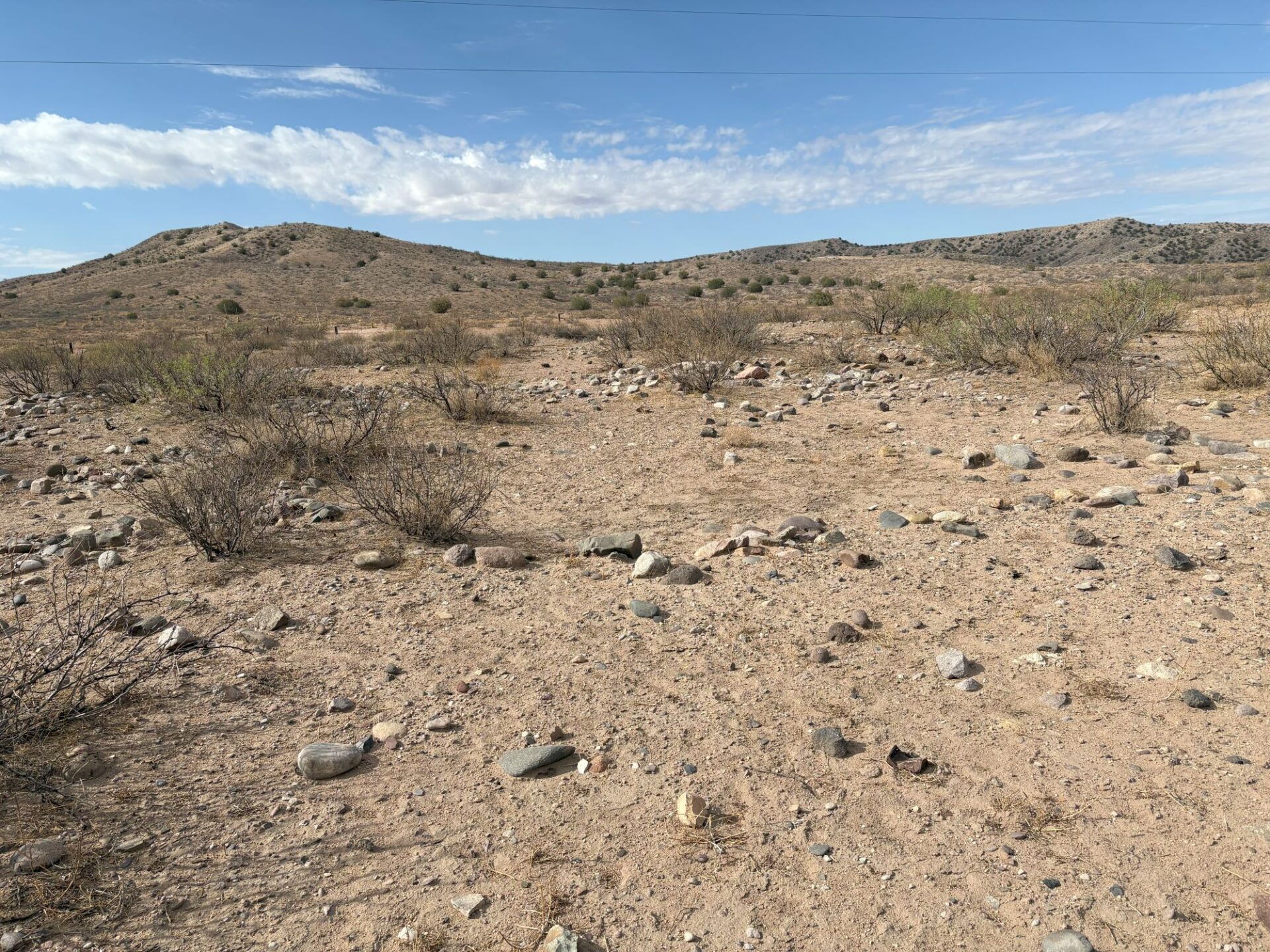
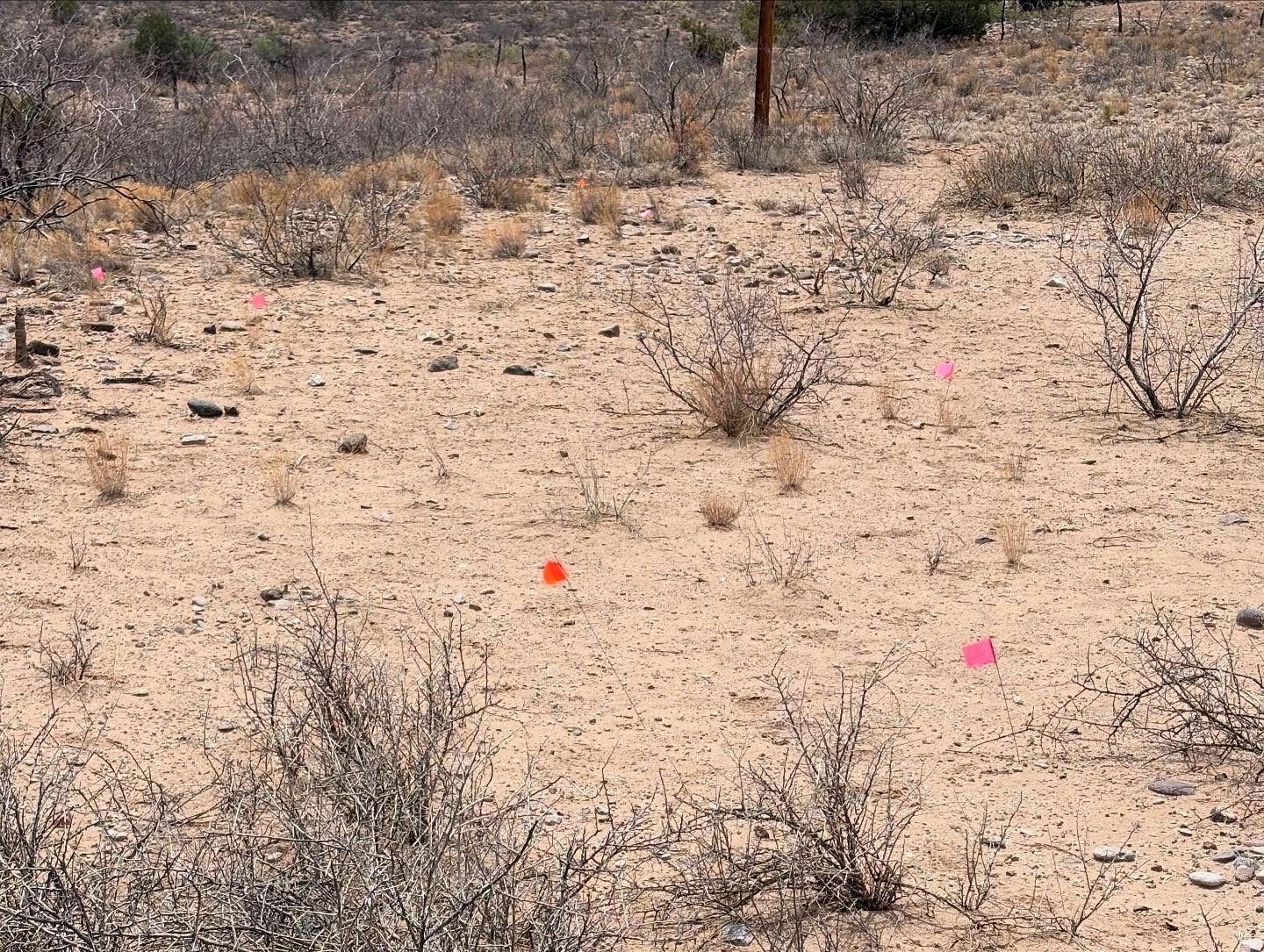
I was given pin flags to use in order to mark each location where I found an artifact. In order to survey a portion of the terrace, we lined up 10 meters apart (just over 30 feet) and walked in a line marking artifacts as we walked. After reaching the edge of the terrace, we repositioned and proceeded again at a different angle and crossed over our route, forming a crisscross pattern in order to find and mark as many artifacts as possible.
Over the course of the day, we all discovered a lot of flaked stone, pottery sherds, and even historical artifacts. The most exciting find was a collapsed pueblo room block, which had not been noted when the larger Classic Mimbres village was originally recorded nearby. On the 24th, I was taught how to use a GPS and a compass in order to map the pueblo’s layout and record all the artifacts we discovered the day before.
On the 25th, we recovered all the pin markers and moved to a location about 20 meters west, where the main village had been recorded in the 1970s. We proceeded to do the same line-walking with the pin flag markers, and found a lot more artifacts and room blocks. I found stone scrapers, basalt metates, one basalt mano, and while walking with our instructor Noah Place, we found the coolest tiny obsidian projectile point! On June 26, I was taught how to fill out site-reporting forms, create maps using my step counts and compass measurements, and how to photograph specific artifacts, because we were not collecting anything on this project.
On June 27, we finished our survey rotation on the terrace and moved to another location, the NAN Ranch in the Mimbres Valley, in order to see sites from the same time period on a different landscape. It was interesting to see the differences in settlement layout in this valley. Unlike our previous survey area, in our new location the residents didn’t need to navigate a cliff to get to the floodplain where they grew crops in ancient times. I was taught how to use a topographical map and compass to pinpoint our location and how to navigate using this method. While at NAN Ranch, we navigated to some petroglyphs nearby.
Within these first few weeks, I have gotten to see some of the most interesting artifacts I have ever seen. So far, I have learned how to identify different rock types, historical materials with markers’ marks, and how in-depth the documentation has to be in order to fully describe and record a site without collecting artifacts. I cannot wait to learn more in the coming weeks! This field school has been one of the best I have ever taken, and the instructors are incredible and are extremely knowledgeable.