Archaeology Southwest joins the Bureau of Land Management, United States Forest Service, Arizona Game and Fish Department, and other stakeholders in identifying long-term needs and management goals for Arizona’s Perry Mesa.
In 2011, Arizona’s Game and Fish Department (AZGFD) purchased Horseshoe Ranch. The property incorporates the Bureau of Land Management’s (BLM) Agua Fria National Monument Horseshoe grazing allotment and the U.S. Forest Service Tonto National Forest’s (TNF) Copper Creek grazing allotment.
Previously, the federal agencies jointly managed these two allotments. The AZGFD acquisition led the three agencies to create a tri-agency Coordinated Resource Management Plan (CRMP) for the Horseshoe/Copper Creek allotments. The CRMP planning process is a collaborative process designed to engage all interested stakeholders, including the public, in the identification of local resource needs and opportunities; to assist agencies in resource data collection and the development of alternatives that address the identified needs and opportunities; and to encourage long-term participation in resource working groups.
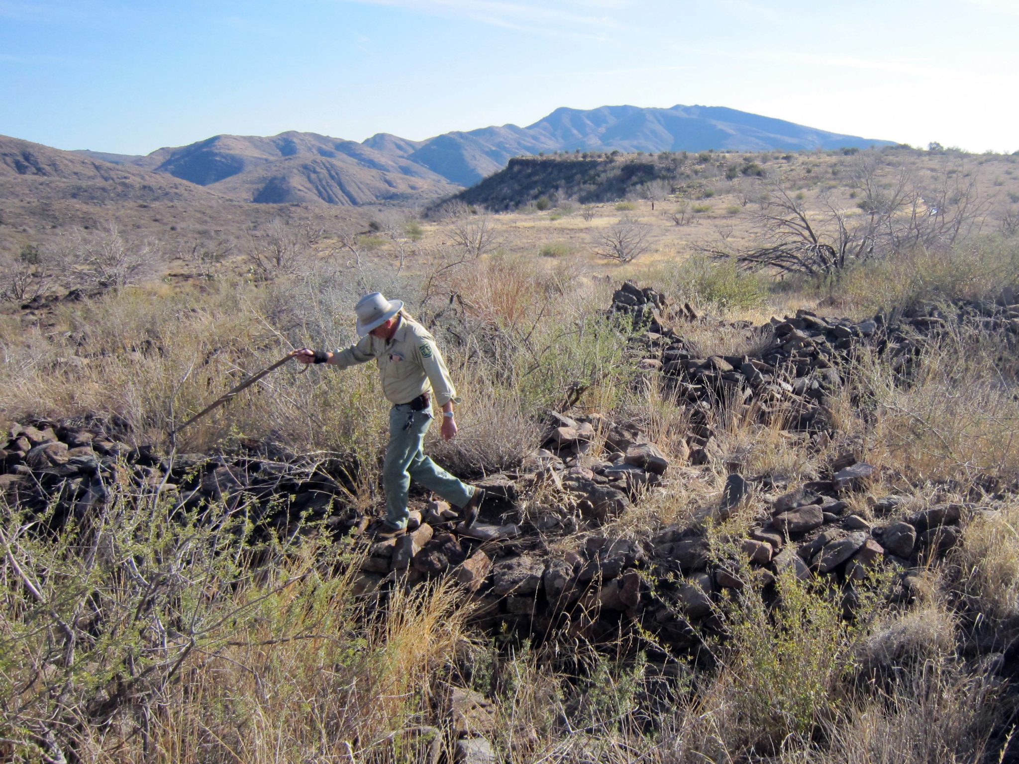
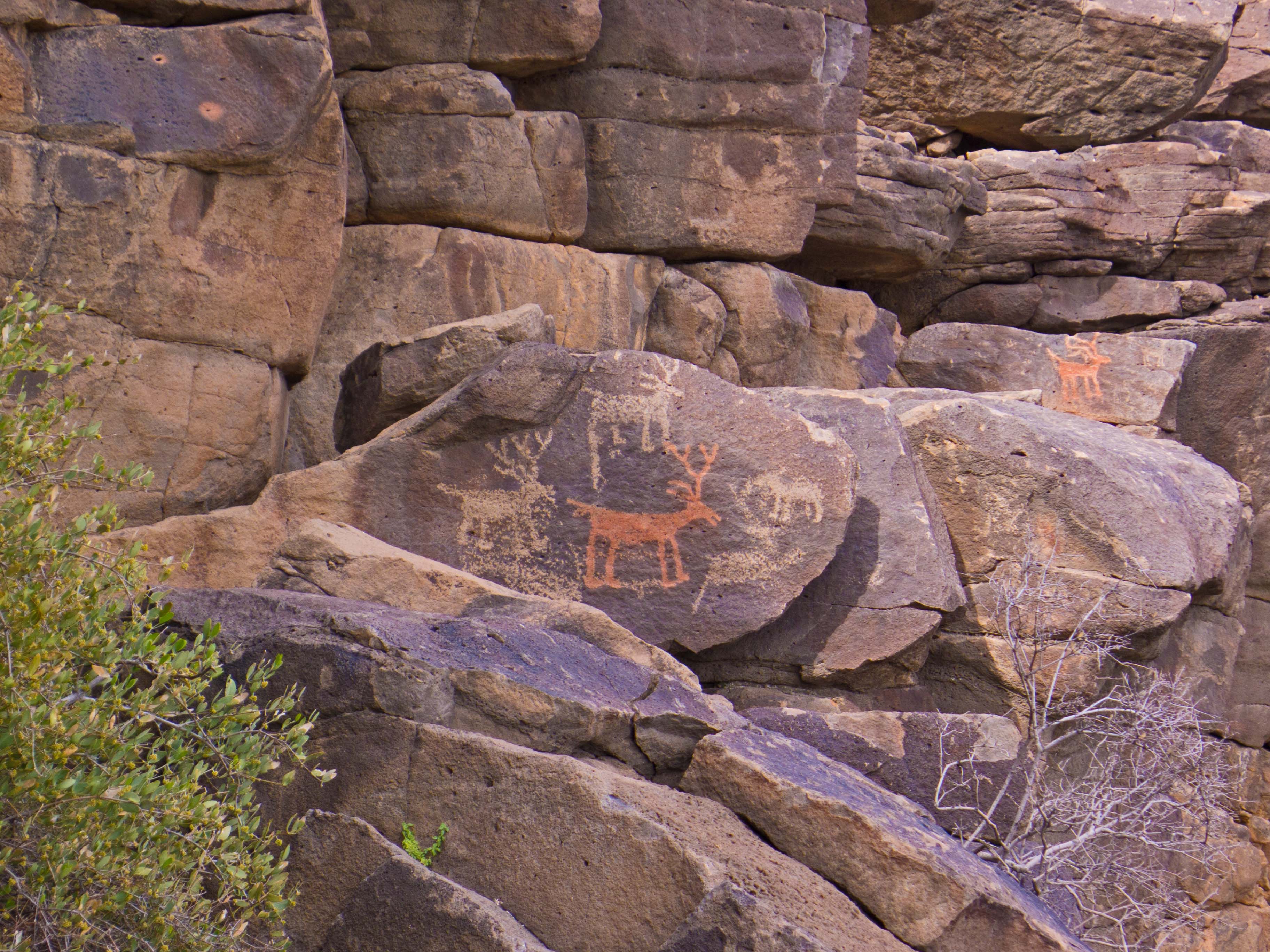
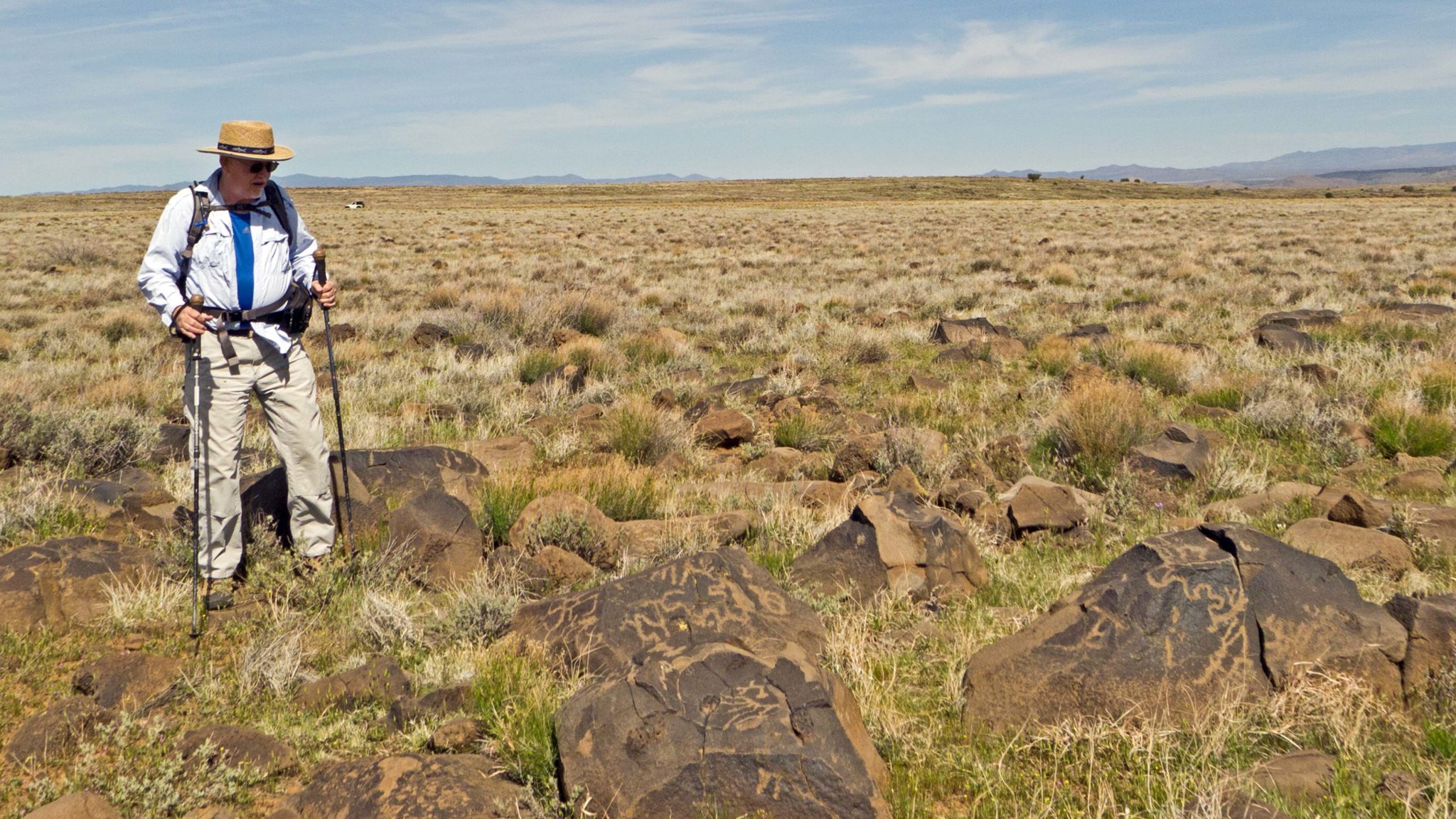
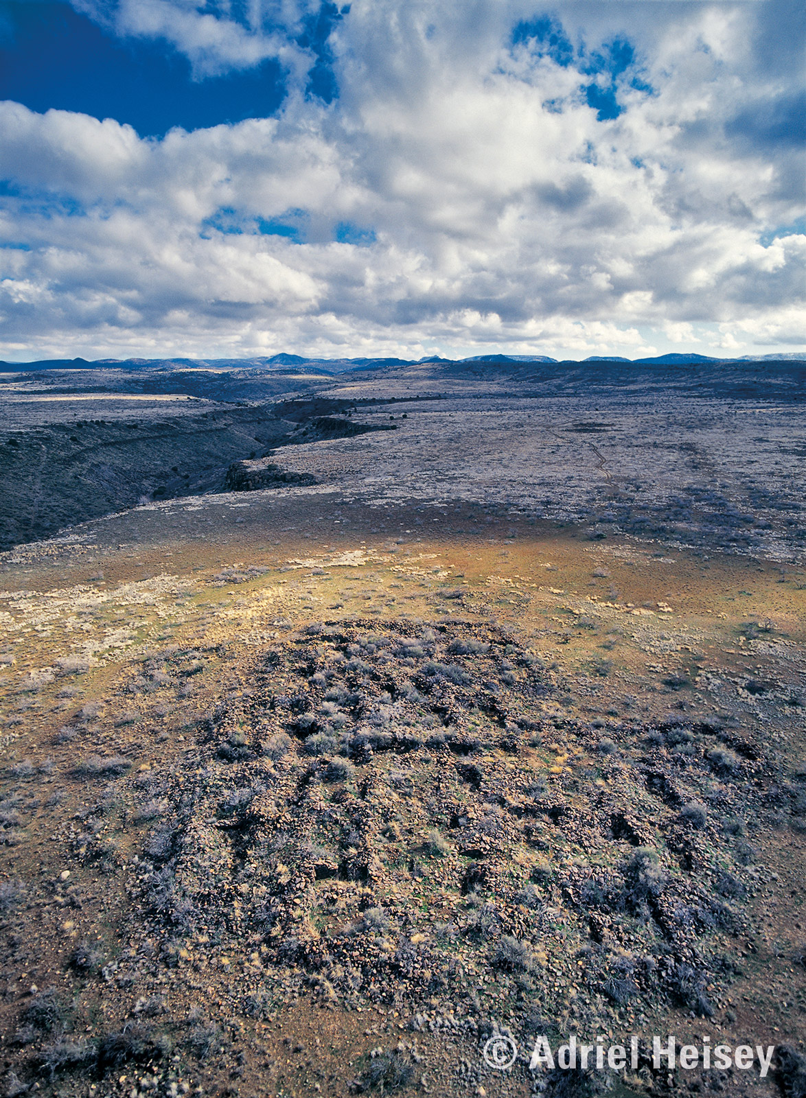
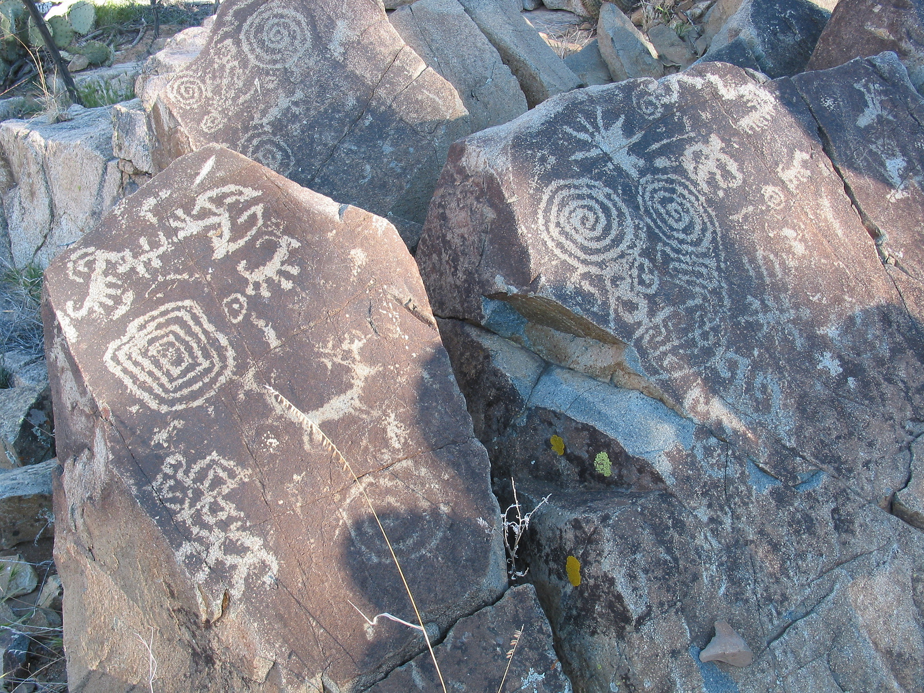
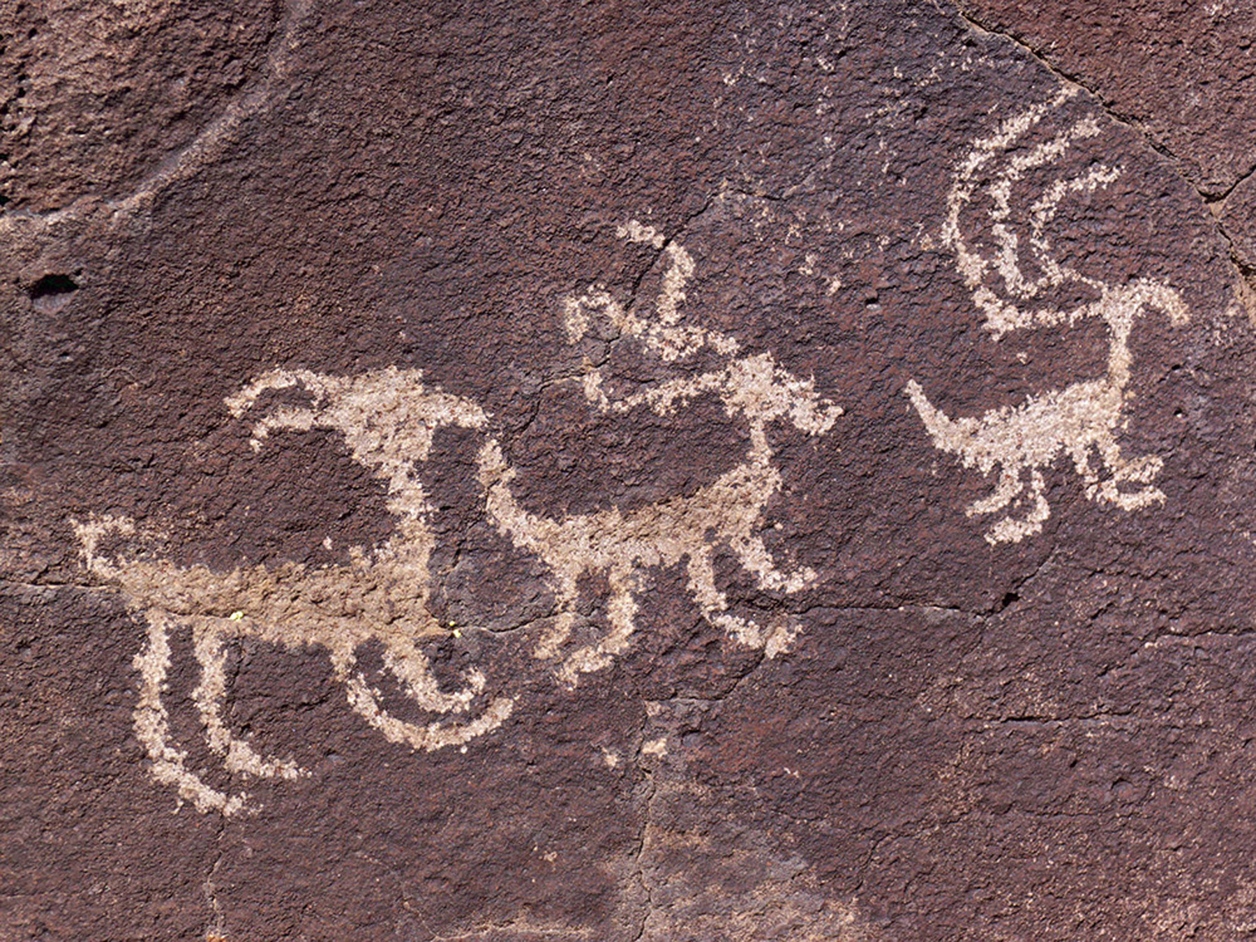
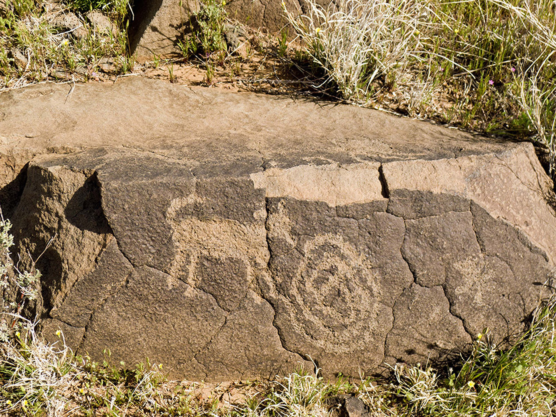
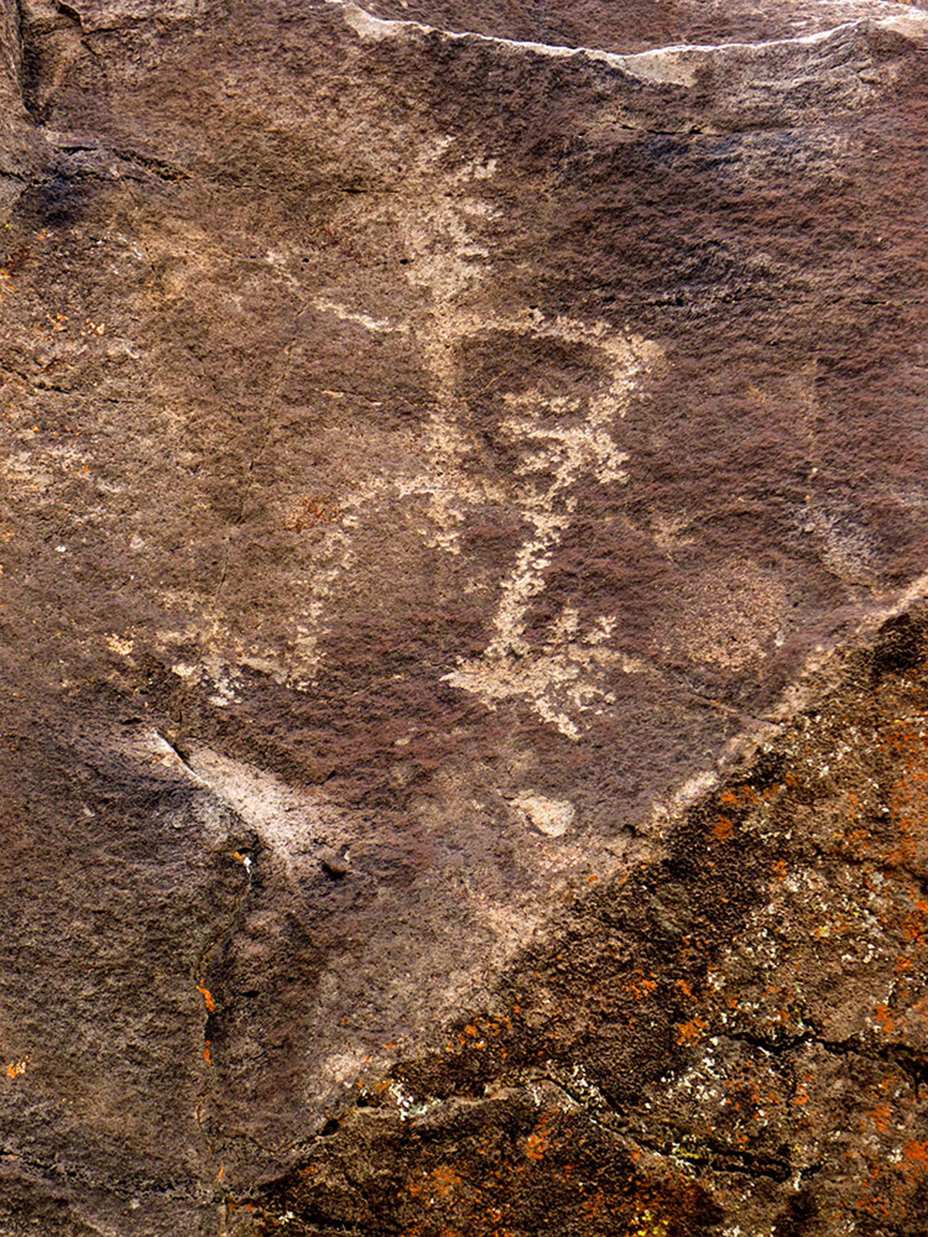
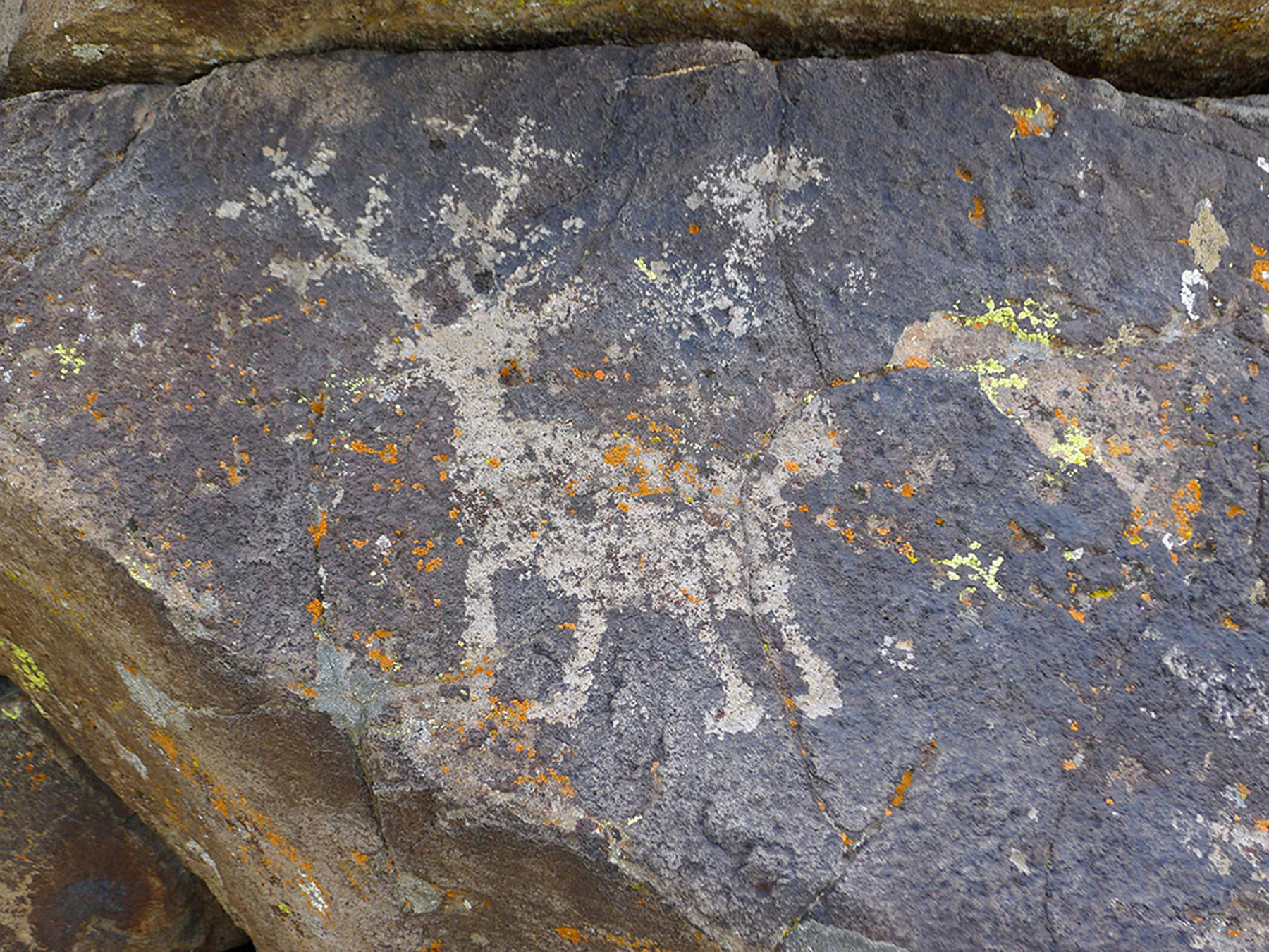
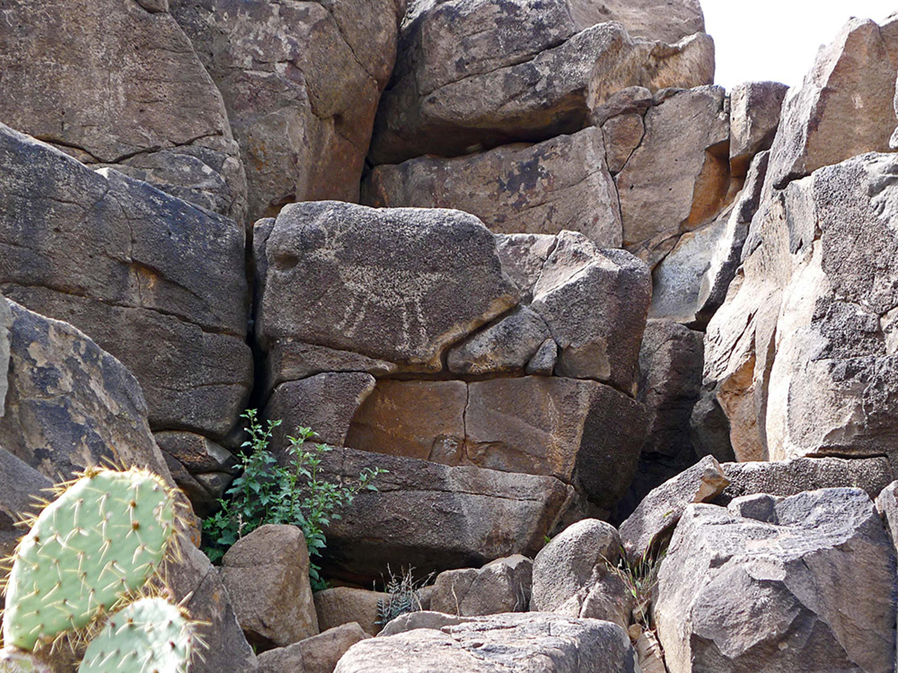
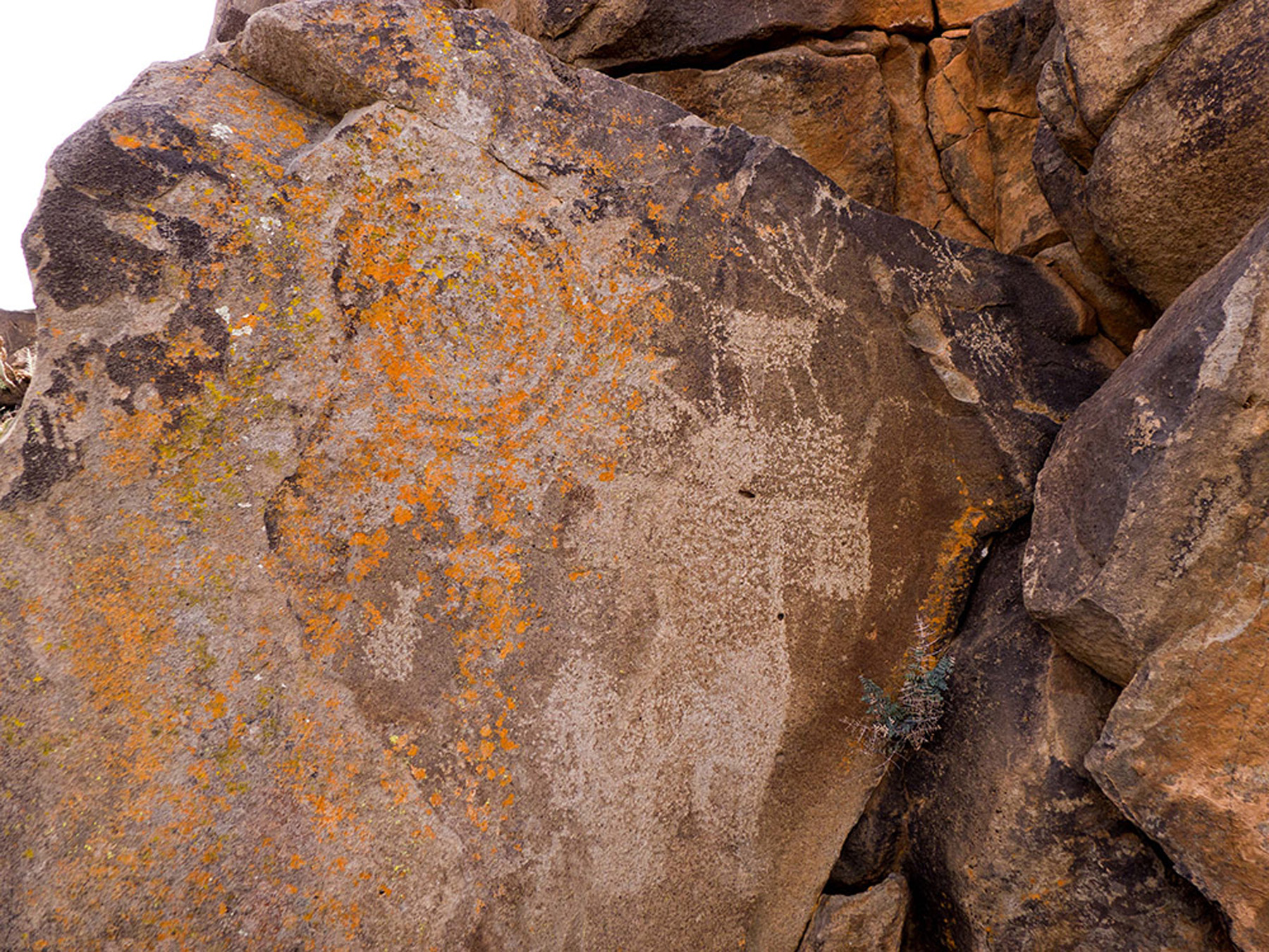
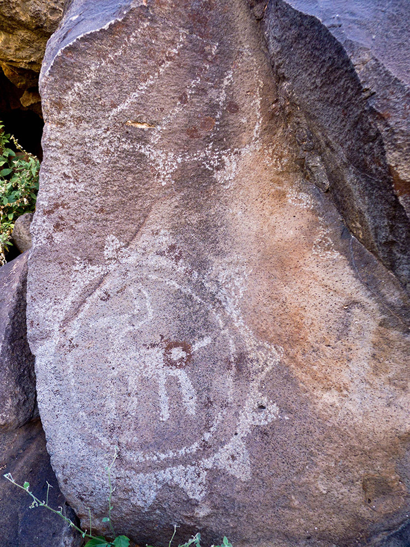
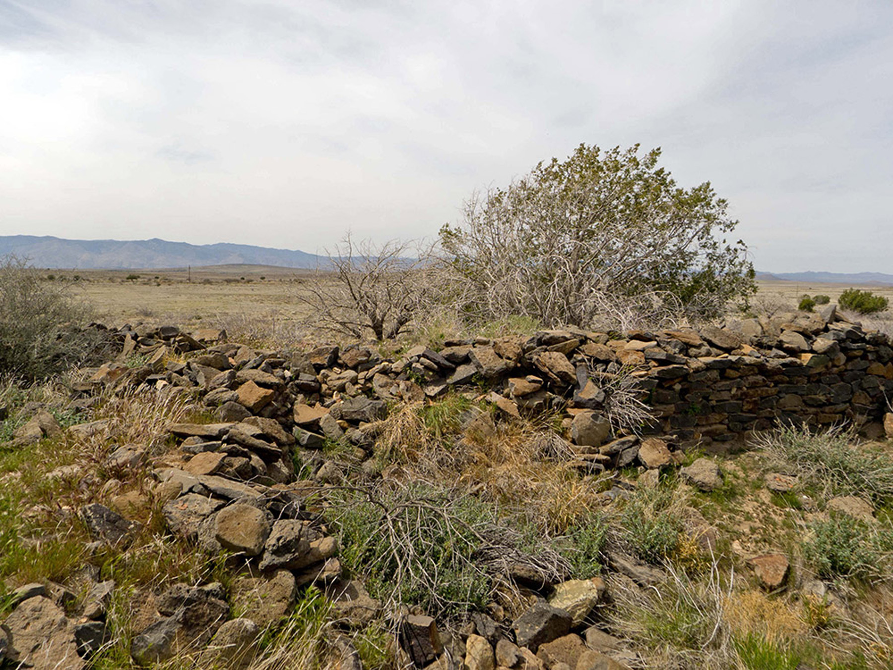
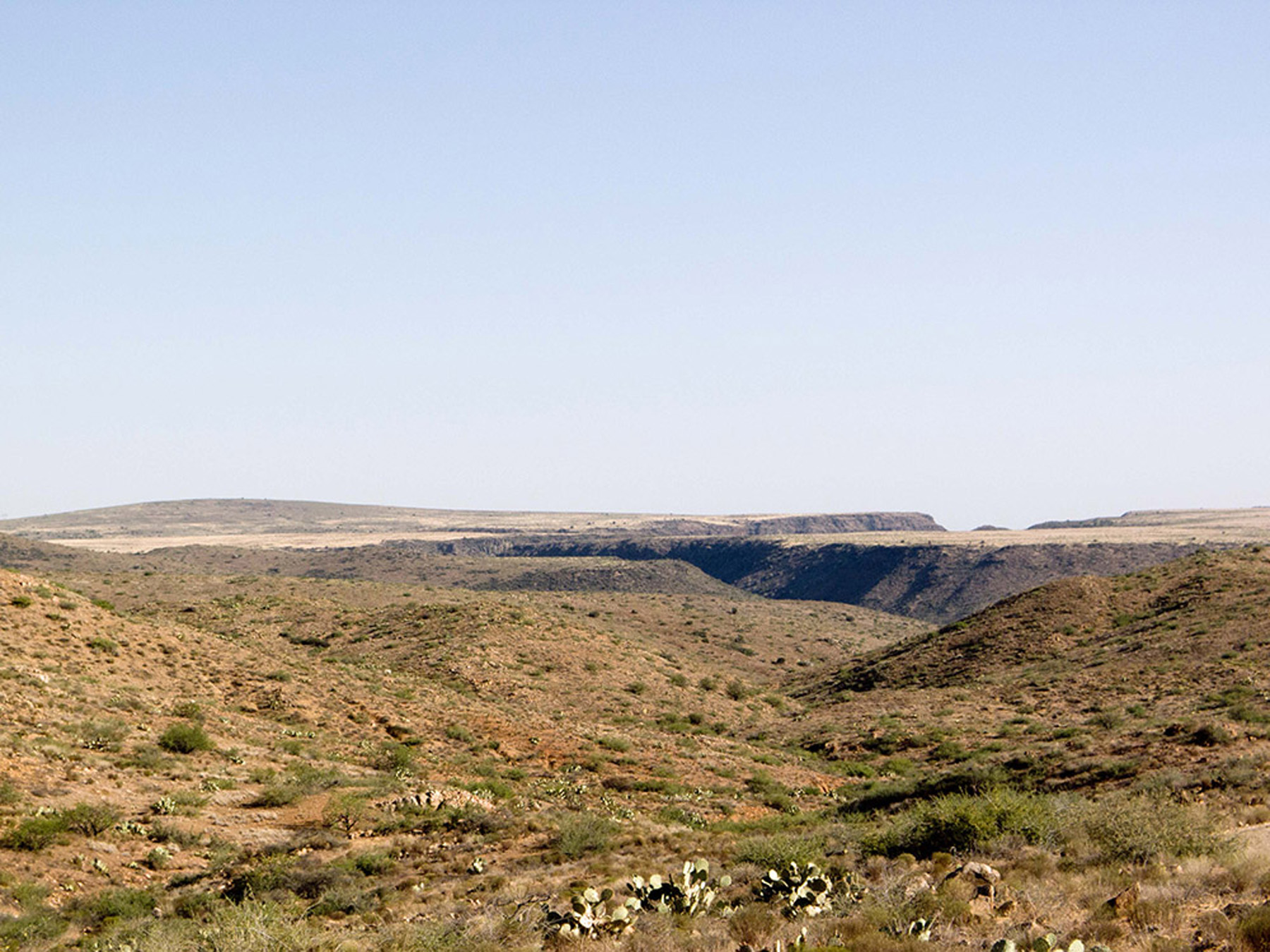
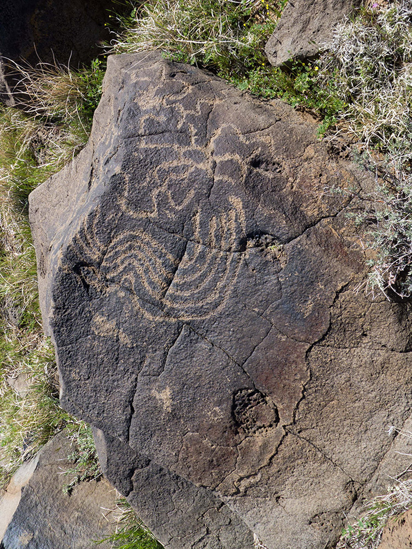
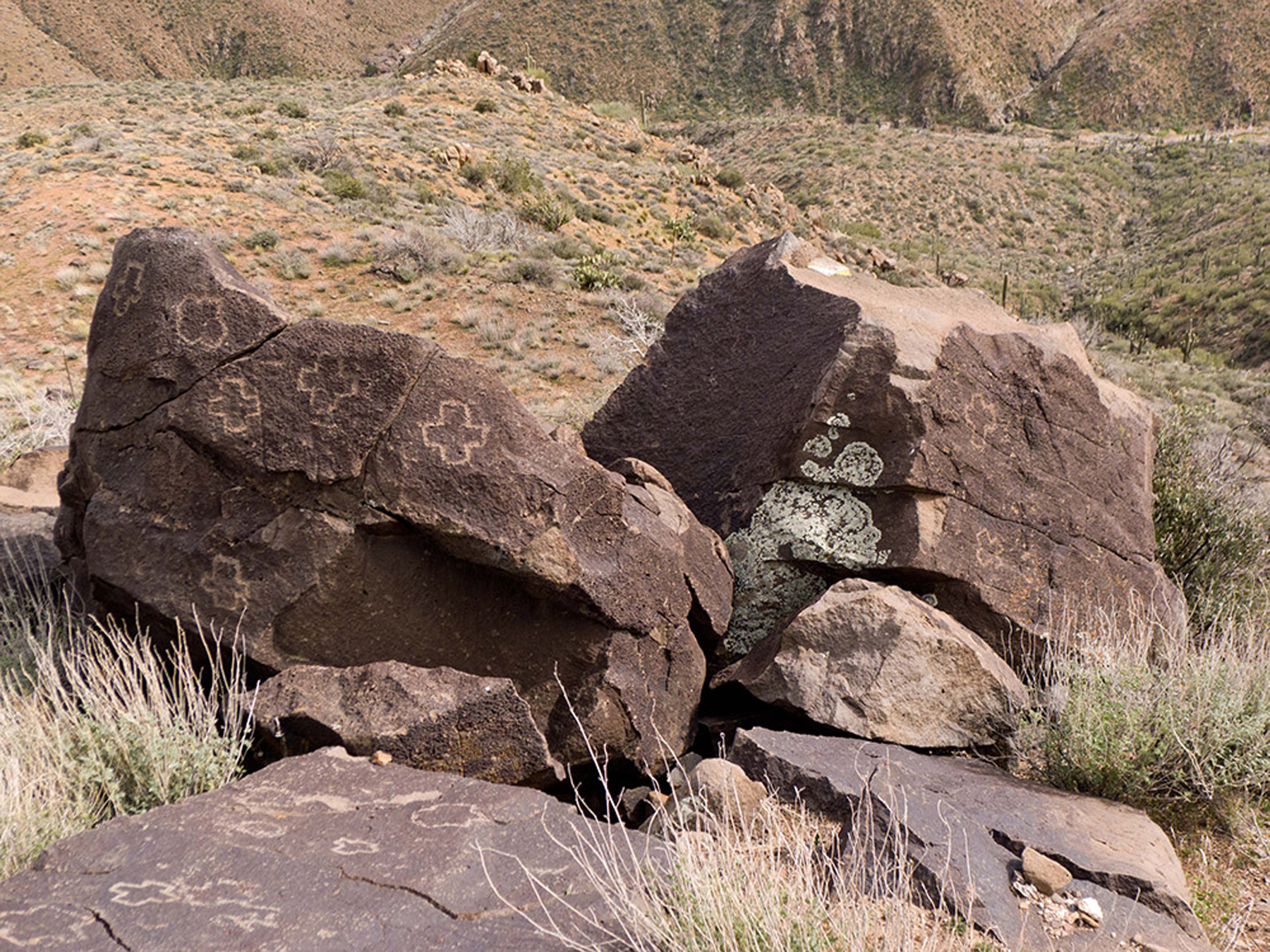
These two grazing allotments fully encompass the Perry Mesa Archaeological District, which is listed on the National Register of Historic Places. Archaeologists recognize that the undeveloped expanses of Perry Mesa contain one of the best-preserved late prehistoric settlement systems in the Southwest. This understanding led President Bill Clinton and Secretary of the Interior Bruce Babbitt to establish the Agua Fria National Monument on the BLM portion of the District.
The archaeological record of Perry Mesa exemplifies a pattern that occurred throughout central Arizona in the thirteenth through fifteenth centuries. Groups moved from valleys to upland areas, where they aggregated into relatively large pueblo villages and devoted considerable attention to defense and long-distance trade. On Perry Mesa, hundreds of archaeological sites exist within a distinctive natural landscape. Most recently, Arizona State University conducted its Legacies on the Landscape project to investigate prehistoric land use on the mesa.
Archaeology Southwest is participating in planning efforts to help promote Perry Mesa’s important cultural resource values. Several goals and numerous objectives have been identified by the Cultural Resources subcomittee, along with an Adaptive Monitoring Protocol to be implemented as part of the livestock grazing plan. The subcommittee recognized the need for an integrated database that includes archaeological information about Perry Mesa. In 2014, Archaeology Southwest received a grant from the Bureau of Land Management’s National Landscape Conservation System Research Support Program to undertake the development of a comprehensive cultural resources geodatabase. To learn more about the cultural resources geodatabase and how to access it, click here (opens as a PDF).
To read our comments on the scoping document related to the Coordinated Resource Management Plan (CRMP) for the Horseshoe/Copper Creek allotments, click here (PDF).
To learn more about this process, visit the planning website.
To learn more about Perry Mesa, read this Visitor Guide (PDF) by Tonto National Forest archaeologist Scott Wood.
To learn more about Agua Fria National Monument, read this summary (PDF) by BLM archaeologist Connie Stone.